Google has officially launched its Flight Simulator on the web version of Google Earth, making the long-hidden feature accessible to anyone with a browser and an internet connection.
The announcement, made via Google Earth’s X account, marks the most significant expansion of the tool since its original debut nearly two decades ago.
“Prepare for takeoff,” the post read, confirming that the flight simulator is “now available globally on web to all users.”
The flight simulator is not a new invention. Google first introduced it quietly back in 2007 as an Easter egg buried inside the desktop version of Google Earth. For years, it remained one of the app’s best-kept secrets: powerful, surprisingly realistic, and almost entirely unknown to the general public.
By bringing the simulator to the web, Google has effectively removed the biggest barrier to entry: the need to download and install the desktop application. The accessibility now rivals the simplicity of Street View click, load, and fly. That shift makes the tool appealing not just to long-time Google Earth enthusiasts, but to anyone curious enough to wonder what their hometown looks like from a cockpit at 3,000 feet.
Getting started is straightforward and integrated directly into the existing Google Earth web interface.
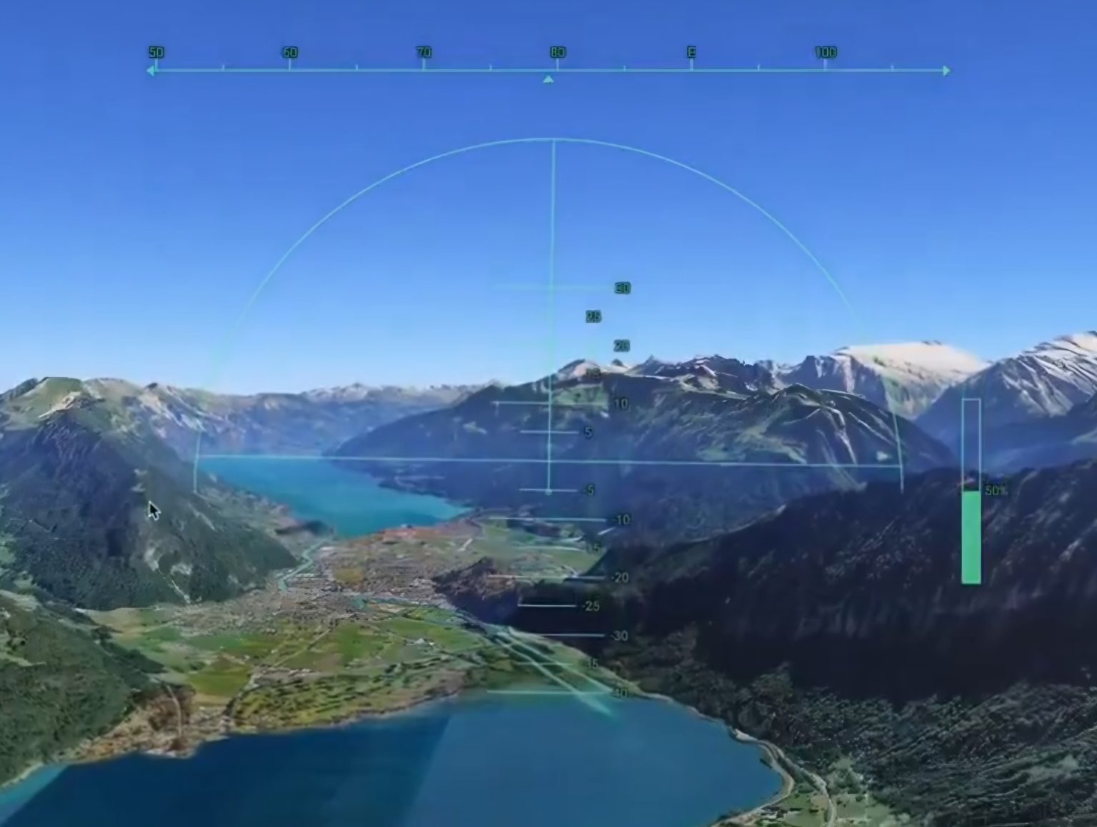
While accessing the tool is now simpler than ever, the simulator itself hasn’t been dumbed down. The flight mechanics retain their original complexity, governed by realistic physics parameters. Even subtle overcorrections on the controls can send the aircraft into a spin and result in a virtual crash. There is no autopilot to save you.That deliberate realism signals something important: this is not a casual visual gimmick. It is a genuine flight simulator that demands patience and precision, the kind of tool that rewards practice and punishes overconfidence, even when running inside a browser tab.